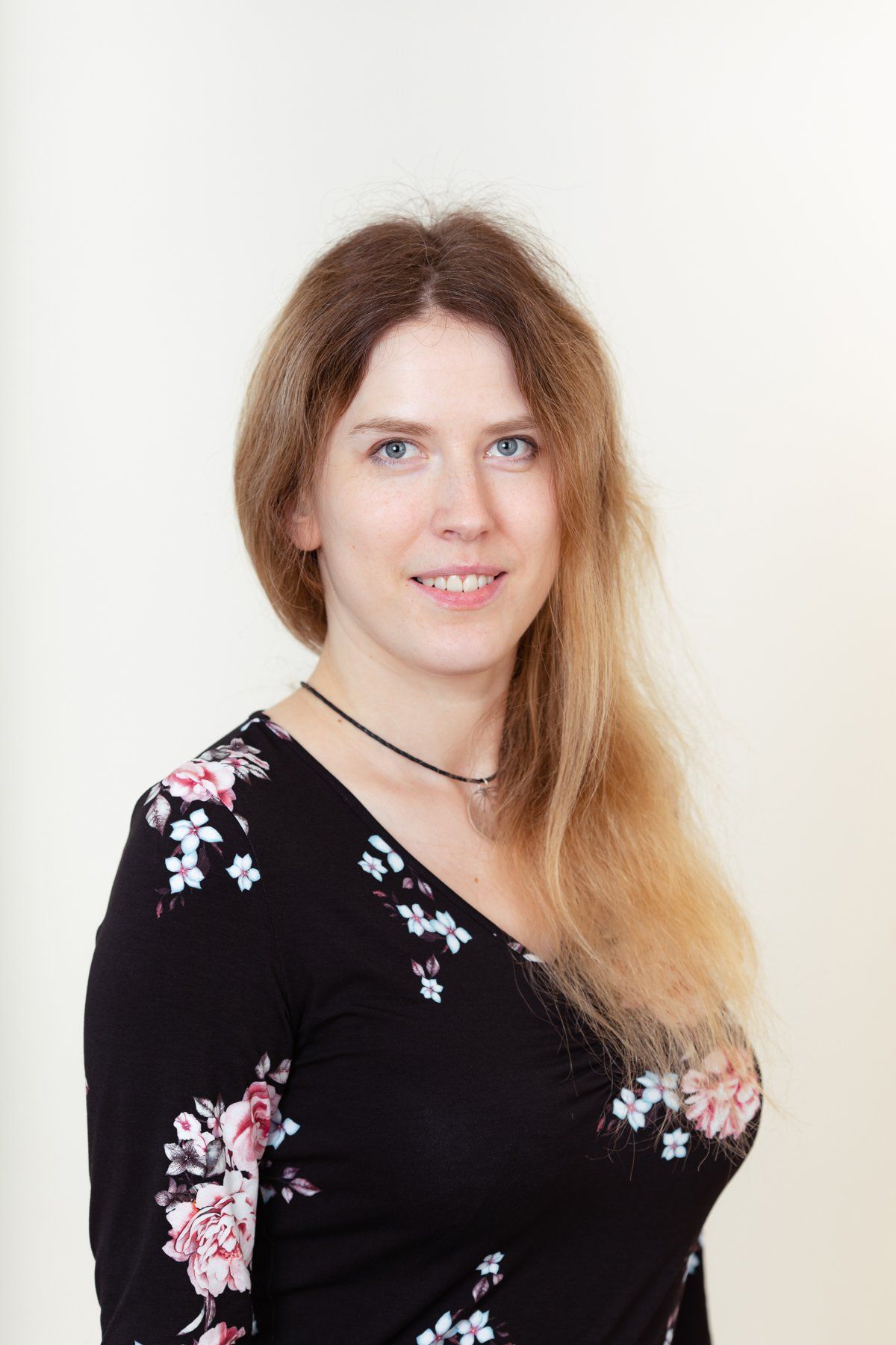
Linda Gulbe
Docente- Informācijas tehnoloģiju fakultāte
Vadošā pētniece - Inženierzinātņu institūts "Ventspils Starptautiskais
radioastronomijas centrs" (IZI VSRC)
IZI VSRC nodaļa: Tālizpētes nodaļa
Ph.D. datorzinātnes un informātika
+371 63629657
Pētniecības nozare
Datorzinātnes un informātikas nozare, signālu diskrētās apstrādes apakšnozare
Publikācijas:
Zinātniskās publikācijas indeksētas Scopus un Web of Science
2019
Gulbe, L., Kozlovs, A., Donis, J., Traskovs, A. Tree cover mapping using hybrid fuzzy c-means method and multispectral satellite images. Baltic Forestry 25(1), pp. 113-123 Scopus, Web of Science
Upnere, S., Jekabsons, N., Gulbe, L., Bezrukovs, V., Bezrukovs, V. Simulation of the flow field over the coastal terrain. 2019, Lecture Notes in Mechanical Engineering Part F6, pp. 400-407 ; ISSN: 21954356; DOI: 10.1007/978-981-13-2273-0_31 , https://link.springer.com/chapter/10.1007%2F978-981-13-2273-0_31 Scopus
2018
Bezrukovs Va., Bezrukovs Vl., Upnere S., Gulbe L., Bezrukovs D. The use of cellular communication masts for wind share research. ENERGETIKA. 2018. T. 64. Nr. 2. P. 64–73; DOI: https://doi.org/10.6001/energetika.v64i2.3780 EBSCO, Scopus
2017
Gulbe, L., Caune, V., & Korats, G. (2017). Urban area thermal monitoring: Liepaja case study using satellite and aerial thermal data. International Journal of Applied Earth Observation and Geoinformation, 63, 45-54., DOI:10.1016/j.jag.2017.07.005 Scopus, Web of Science, EBSCO, Science Direct
2016
Lang, M., Gulbe, L., Traškovs, A., Stepčenko, A. Assessment of different estimation algorithms and remote sensing data sources for regional level wood volume mapping in hemiboreal mixed forests. 2016, Baltic Forestry 22 (2), pp. 283-296, Scopus, Web of Science
Gulbe, L., & Korāts, G. (2016). Semi-Automatic Selection of Ground Control Points for High Resolution Remote Sensing Data in Urban Areas. Applied Computer Systems, 20(1),The Journal of Riga Technical University, 21-26.
https://www.degruyter.com/view/j/acss.2016.20.issue-1/acss-2016-0011/acss-2016-0011.xml, DOI:
https://doi.org/10.1515/acss-2016-0011 Web of Science
2015
Gulbe, L. Identification and delineation of individual tree crowns using Lidar and multispectral data fusion. International Geoscience and Remote Sensing Symposium (IGARSS) 2015-November,7326522, pp. 3294-3297 Web of Science, Scopus
2014
Gulbe, L. Automatic template generation for individual tree identification in remote sensing data using (1+1) evolutionary algorithm. International Multidisciplinary Scientific GeoConference Surveying Geology and Mining Ecology Management, SGEM 2014, 3(2), pp. 63-70 Web of Science, Scopus, EBSCO
Gulbe, L., Hilkevica, G. Vegetation change detection in Landsat TM time series using singular spectrum analysis and regular forest inventory data. International Multidisciplinary Scientific GeoConference Surveying Geology and Mining Ecology Management, SGEM, 2014 3(2), pp. 397-404 Web of Science, Scopus, EBSCO
2013
Lang, M., Traškovs, A., Gulbe, L. Assessment of NTSG MODIS NPP product for forests in Kurzeme region, Latvia | [Kuramaa metsade primaarproduktsiooni hindamisest NTSG MODIS NPP andmestiku abil]. 2013, Forestry Studies, Volume 58, 1 January 2013, Pages 26-33, DOI: 10.2478/fsmu-2013-0003, ISSN: 14069954 Scopus, EBSCO
Other scientific publications
2018
Bezrukovs V., Bezrukovs Vl., Upnere S., Gulbe L., Bezrukovs D., (2018): The use of cellular communication masts for wind shear research. Conference CYSENI 2018, May 23-25, Kaunas. http://cyseni.com/archives/proceedings/Proceedings_of_CYSENI_2018.pdf pp.1.
V.Bezrukovs, Vl. Bezrukovs, L. Gulbe, D. Bezrukovs, M. Konuhova. The experience of installing wind measuring sensors on cellular communication tall masts. Space Research Review, Volume 5, 2018, p.106-127, ISBN 978-9984-648-89-7
2017
Gulbe L. Building extraction using data fusion of aerial images and Lidar data. BAASP 2017 - 5th International Scientific Conference "Baltic Applied Astroinformatics and Space Data Processing 23-24 August, 2017. Abstract Book. Ventspils Augstskola, VIRAC. ISBN 978-9984-648-73-6, p. 23, 24
2015
J.Žagars, J.Freimanis, L.Gulbe, A.Krauze, A.Stepčenko, K.Šķirmante, A.Traškovs. Satelīttehnoloģiju attīstība Ventspils Augstskolā, rakstu krājums “Ventspils Augstskolas Inženierzinātņu institūtam VSRC 20”, Ventspils, 2015, ISBN 978-9984-648-55-2.
2013
Gulbe, L.,
Mednieks I. "Automatic Identification of Individual Tree Crowns in Mixed Forests Using Fusion of LIDAR and Multispectral Data." Technologies of Computer Control 14 (2013).


